
West May Creek Trail
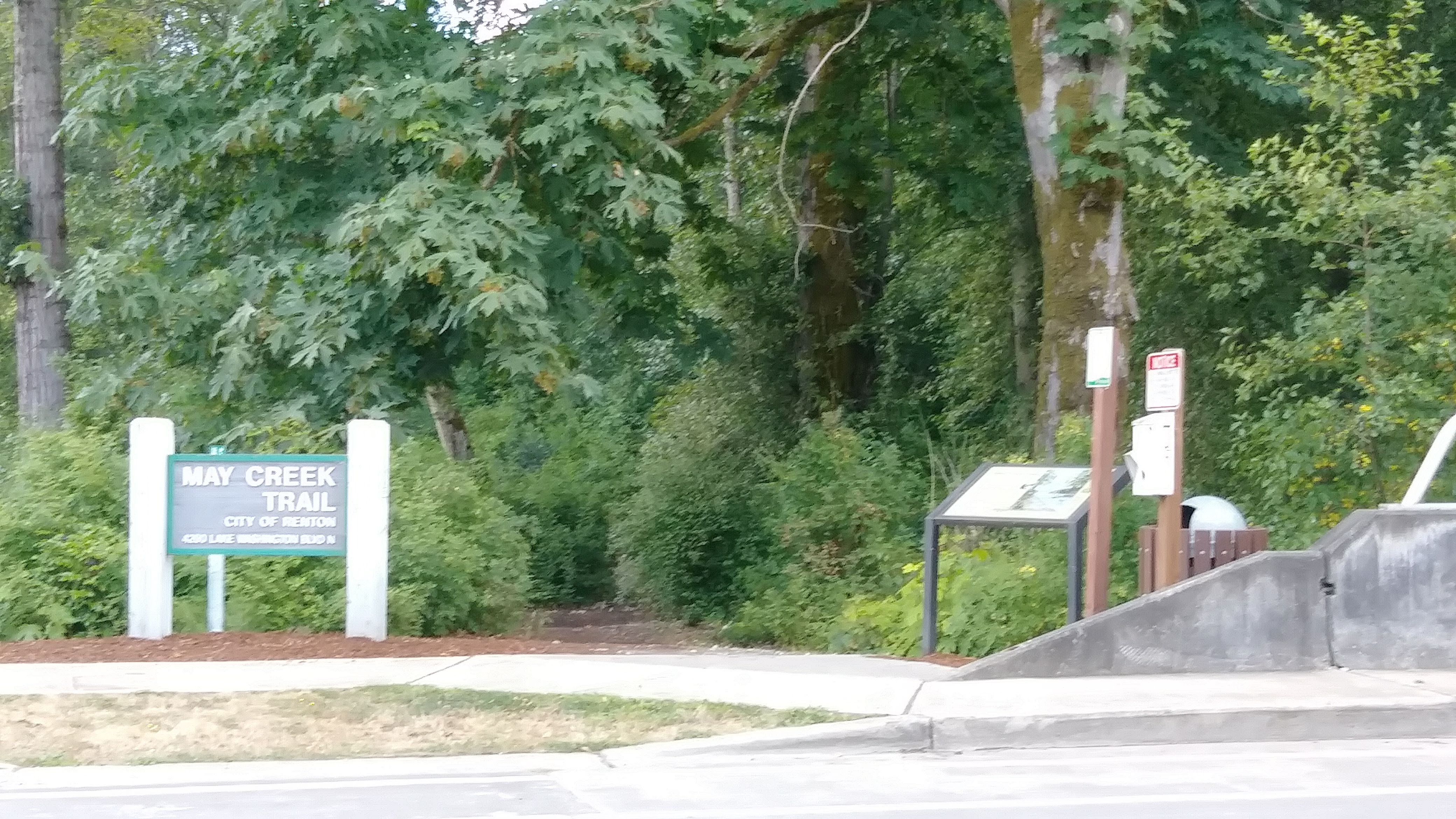
01 Trailhead on Lake Washington Blvd
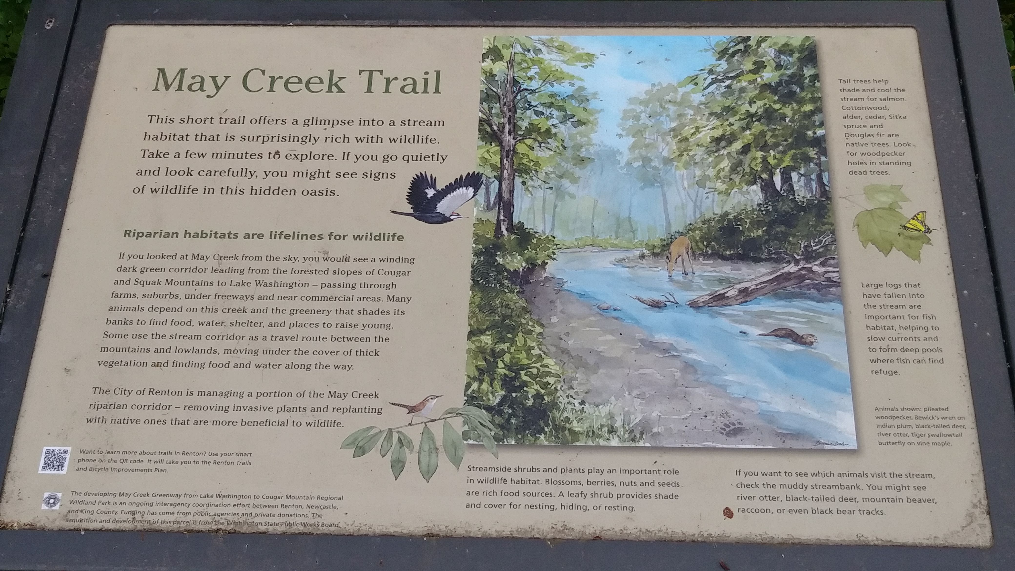
02 Interpretive Sign
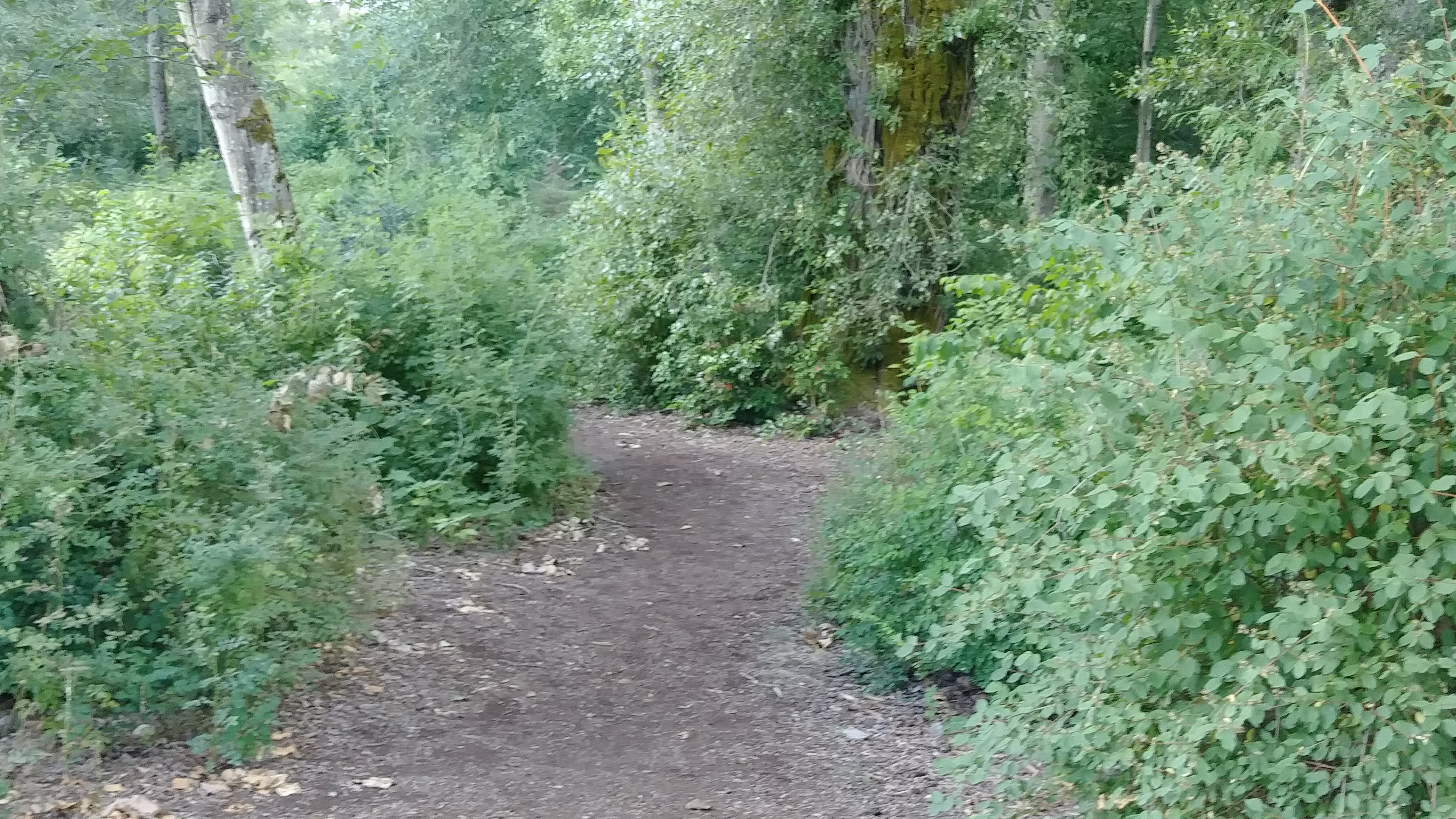
03 Trail in Woods
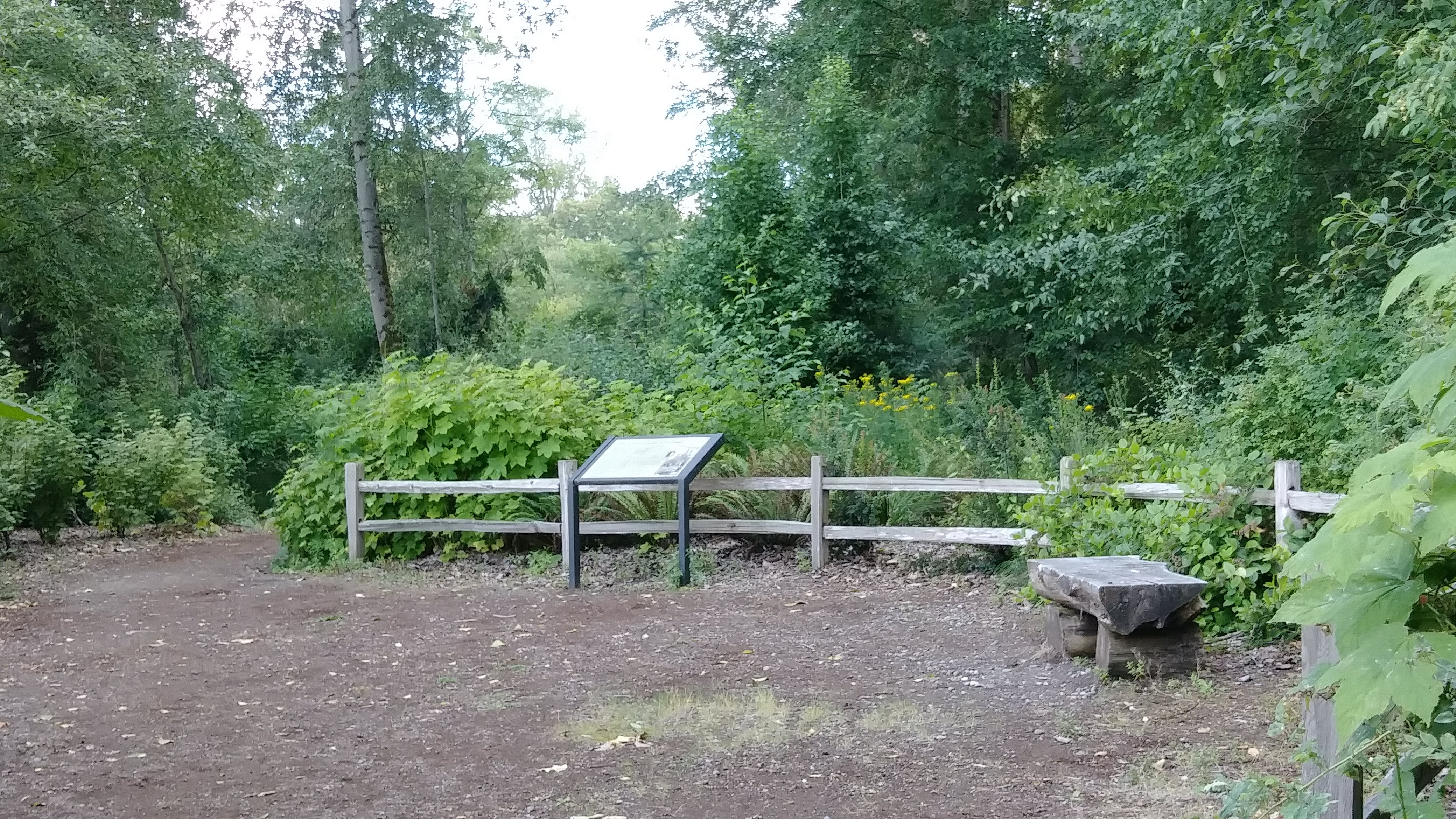
04 Interpretive Site for historic Homestead
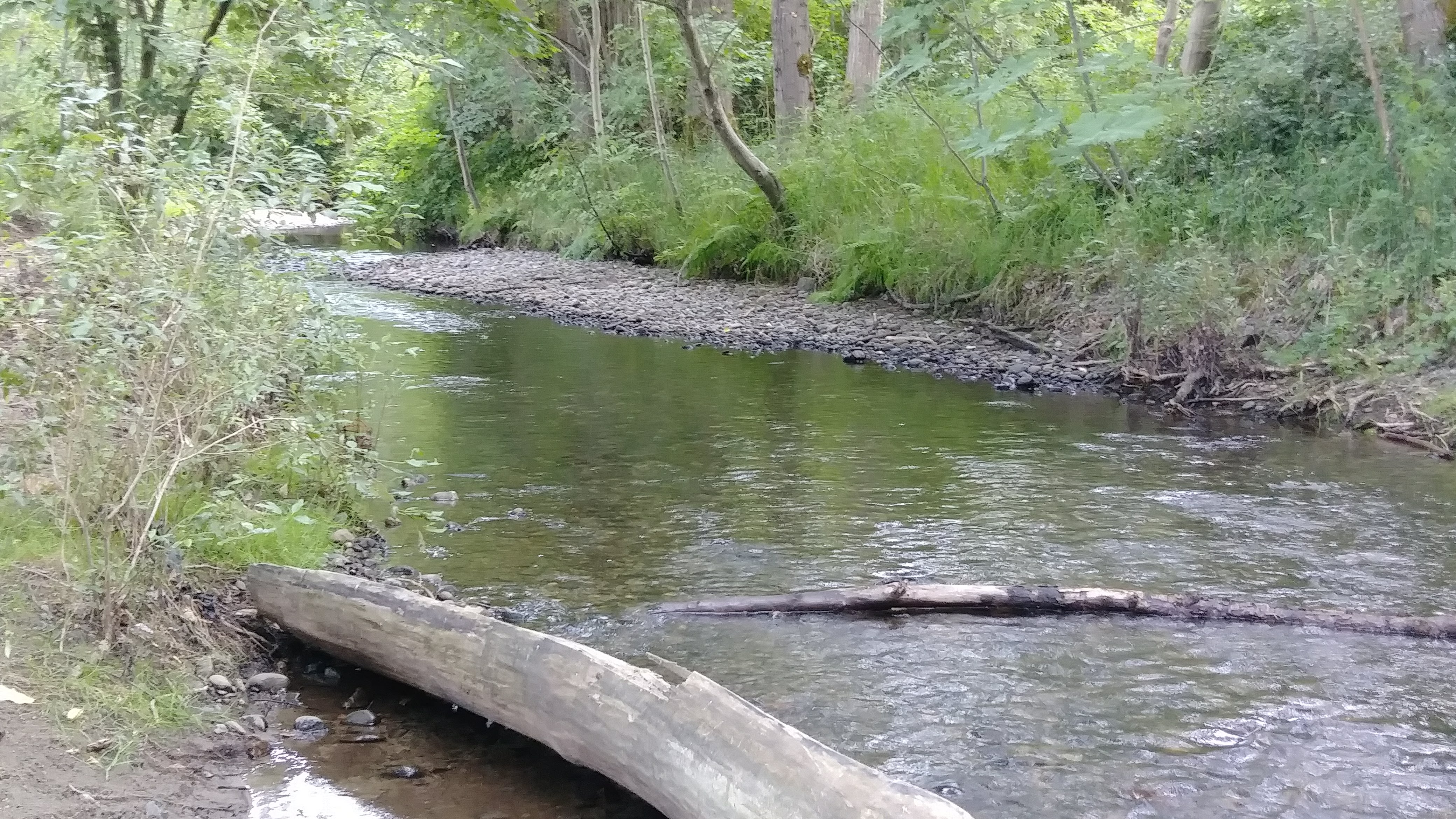
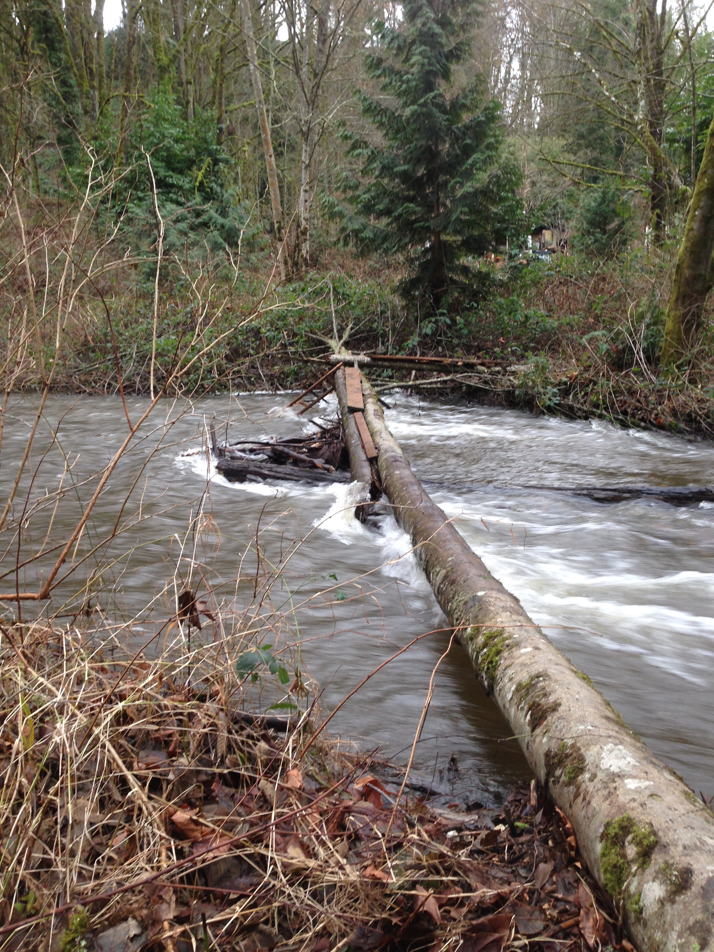
05 View of May Creek
06 End of Proposed Trail on Renton side of May Creek
Overview
1.7 miles
Incomplete
1 Road,
0 Driveways
![]()
![]()
A creekside trail from Lake Washington thru Renton to Newcastle
Description
1. Park on the west side of Lake Washington Blvd just north of the creek (by the rail trail). You can follow the trail to Lake Washington by walking north on the rail trail, turning left on the street and left again, then following the trail west of the stream, walking south, crossing to the east bank on N 40th Place, and following the trail to the lakeshore. For a shortcut (or return loop), use the rail trail running south to N 40th Place.
2. From the parking area, cross the street to a small wooded park that serves as a trailhead. Here interpretive signs describe a pioneer homestead near the creek, and reference the May Creek Greenway (see Trail Planner), a mostly wooded trail corridor extending from here into Cougar Mountain Park.
3. Follow the trail east through the woods towards I-405. A short trail branching right brings you to the edge of the creek. The trail currently ends before the I-405 underpass. When complete, it will connect to the Mid May Creek Trail at the Newcastle-Renton boundary.
| Renton residents use an informal access trail about 1.7 miles upstream to cross a riffled section of May Creek. A 2017 survey by the City of Renton found that Renton residents use the May Creek Trail (all sections) more than any other except the Cedar River Trail. |
Future Plans
Renton plans to complete the trail to Newcastle when May Creek is bridged by the new I-405 interchange. Renton and Newcastle have proposed a footbridge across May Creek where it forms their mutual boundary. As the footbridge must span the entire flood plain (without piers), it will likely be a suspension bridge.
In this boundary area, connecting trails in Renton have been proposed, one up Honey Creek to the Renton Highlands, another up along the old railroad grade to Kennydale.
Completing the West May Creek Trail and the footbridge will also complete a trail connection in the May Creek Greenway from Lake Washington all the way to Cougar Mountain Park. And the proposed Gypsy Creek Trail (see Trail Planner) will access the Greenway from Renton's planned Kenyon-Dobson Park, joining the Mid May Creek Trail a short distance east from the site of the footbridge. Kenyon-Dobson Park has other possible trail connections: to the West May Creek Trail (forming a loop across the footbridge); via the sidewalk on 116th Ave SE to the 84th Street and Hazelwood trails.
The Eastside Rail Corridor will connect the May Creek Greenway to the regional trail system: south to the Lake-to-Sound and Interurban trails, ending respectively at Des Moines and Alki in West Seattle; north to the Mountains-to-Sound Greenway, ending in downtown Seattle. And the ERC rail-trail is part of a Grand Loop: north into Bellevue, southeast on the Coal Creek Trail into Cougar Mountain Park, west on the May Creek Greenway back to the ERC.