
Horse Trail
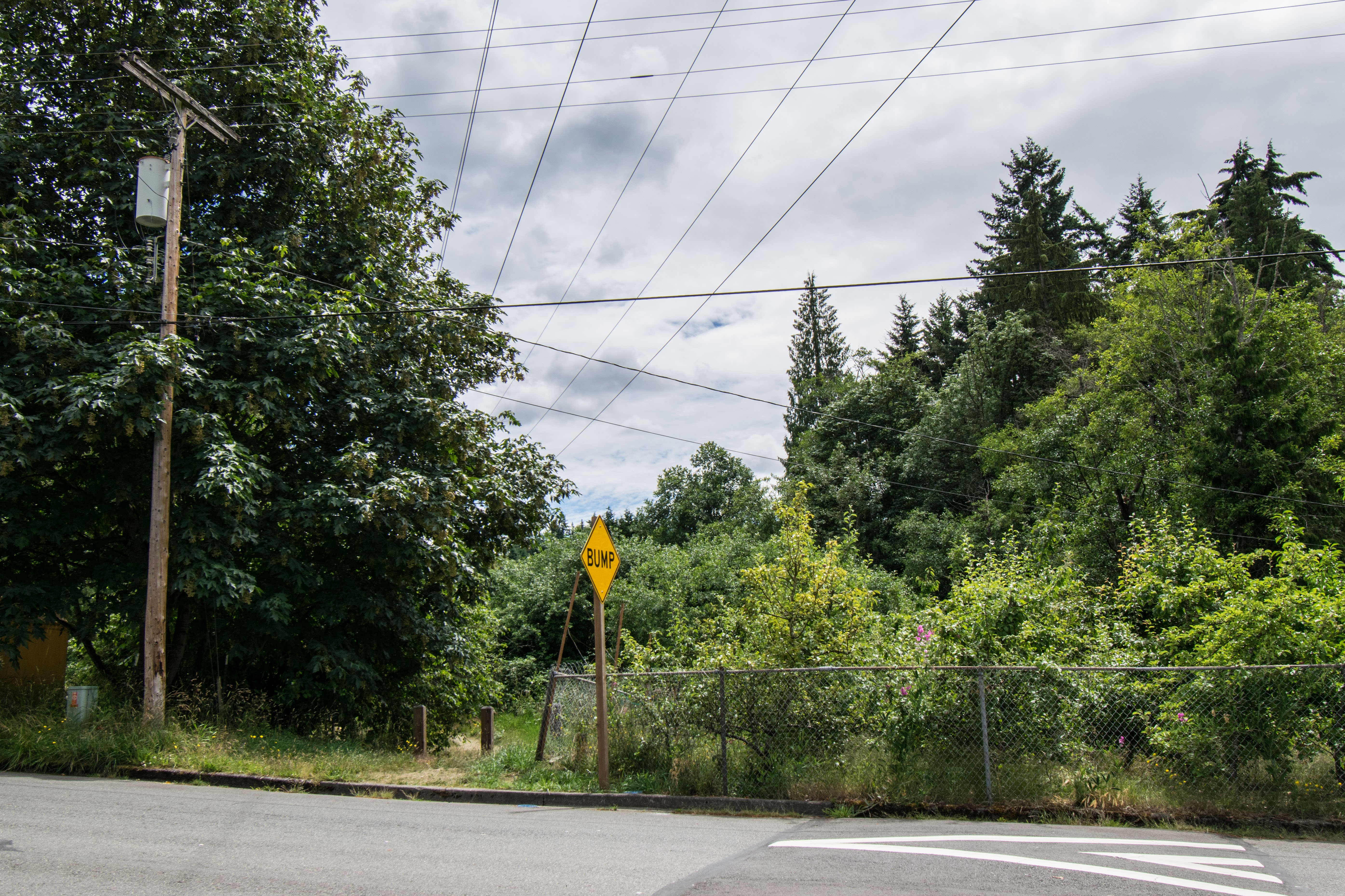
01 Trailhead at Donegal Park In Hazelwood
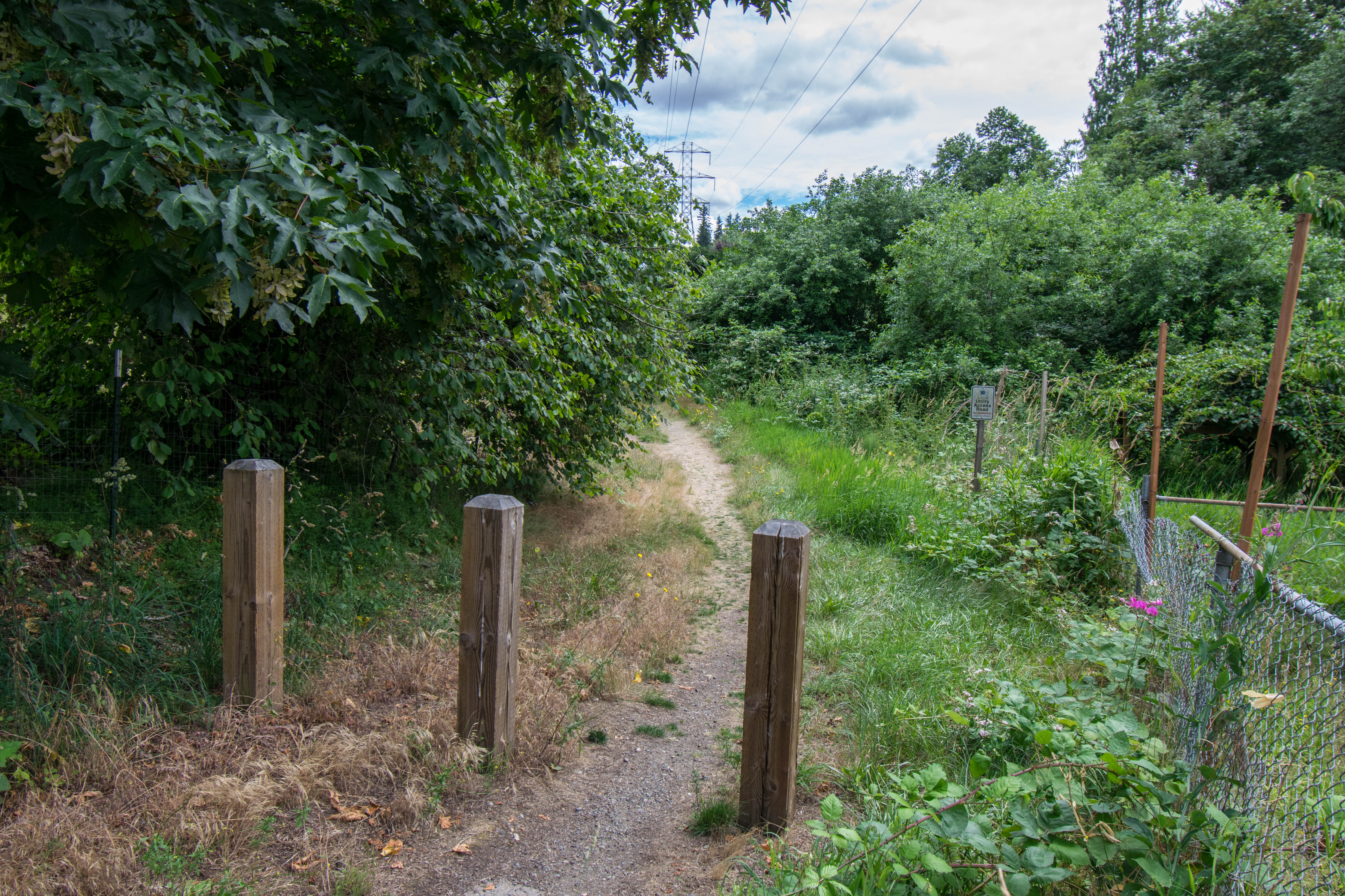
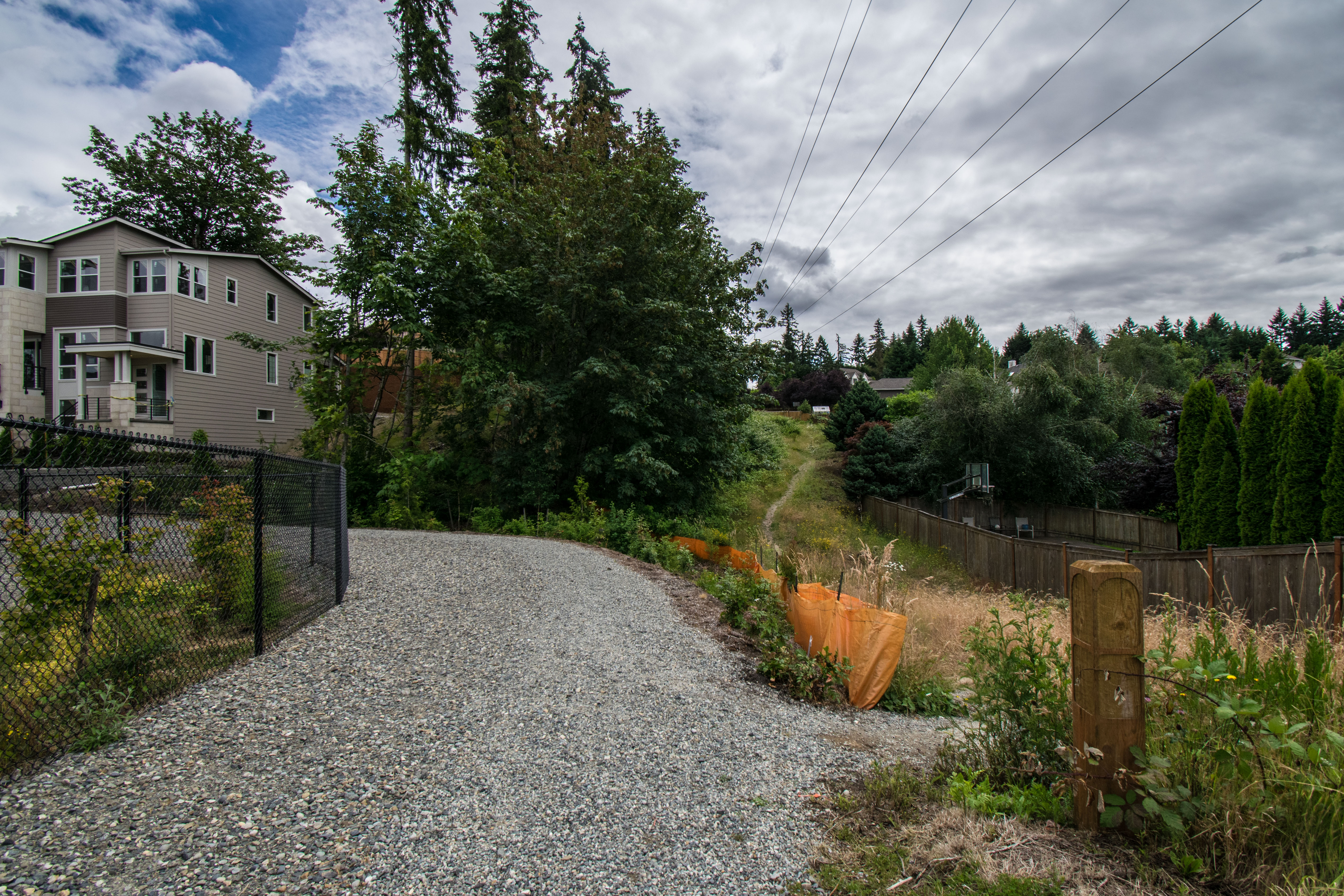
02 Trail southbound from SE 74th St
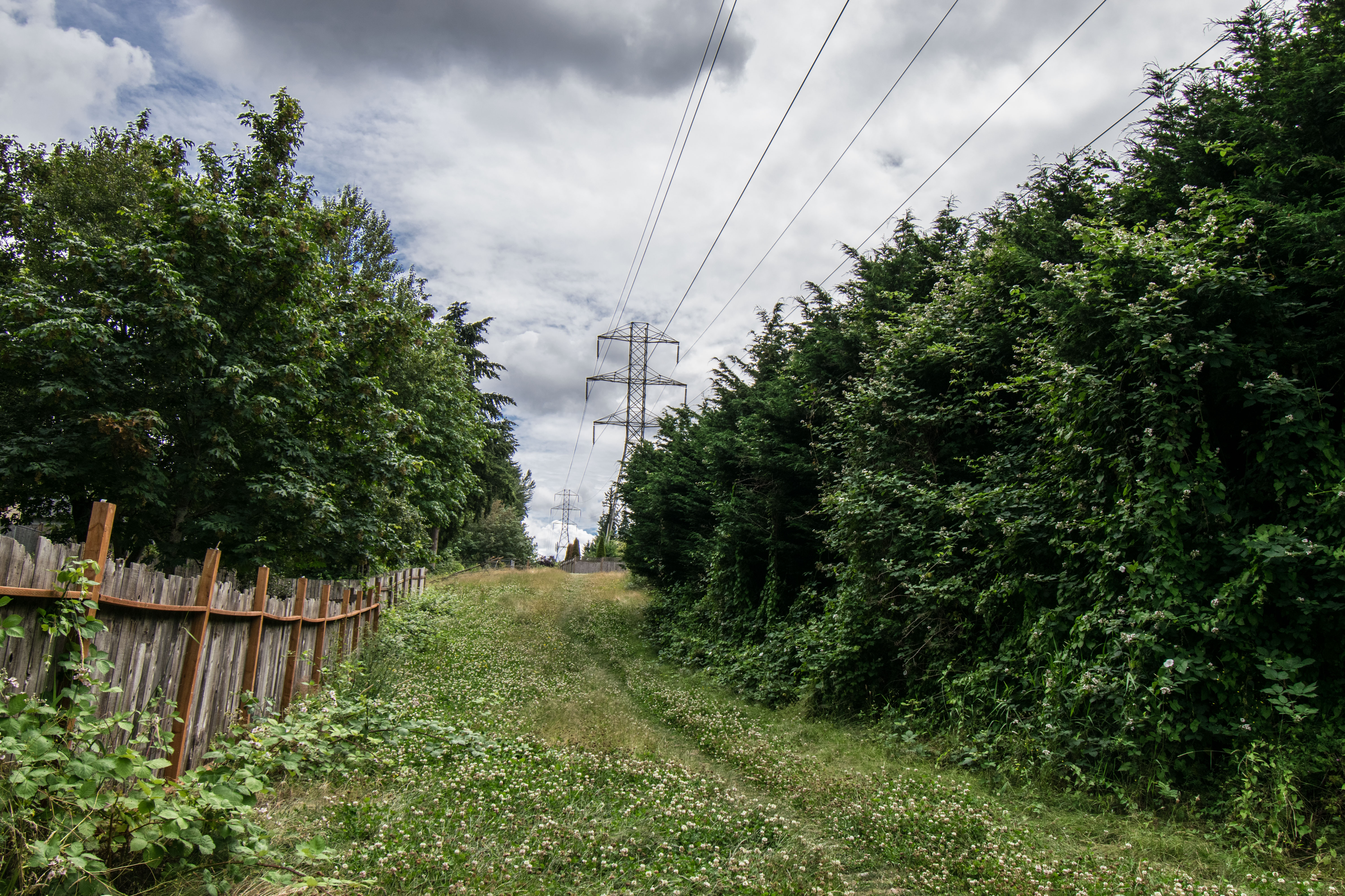
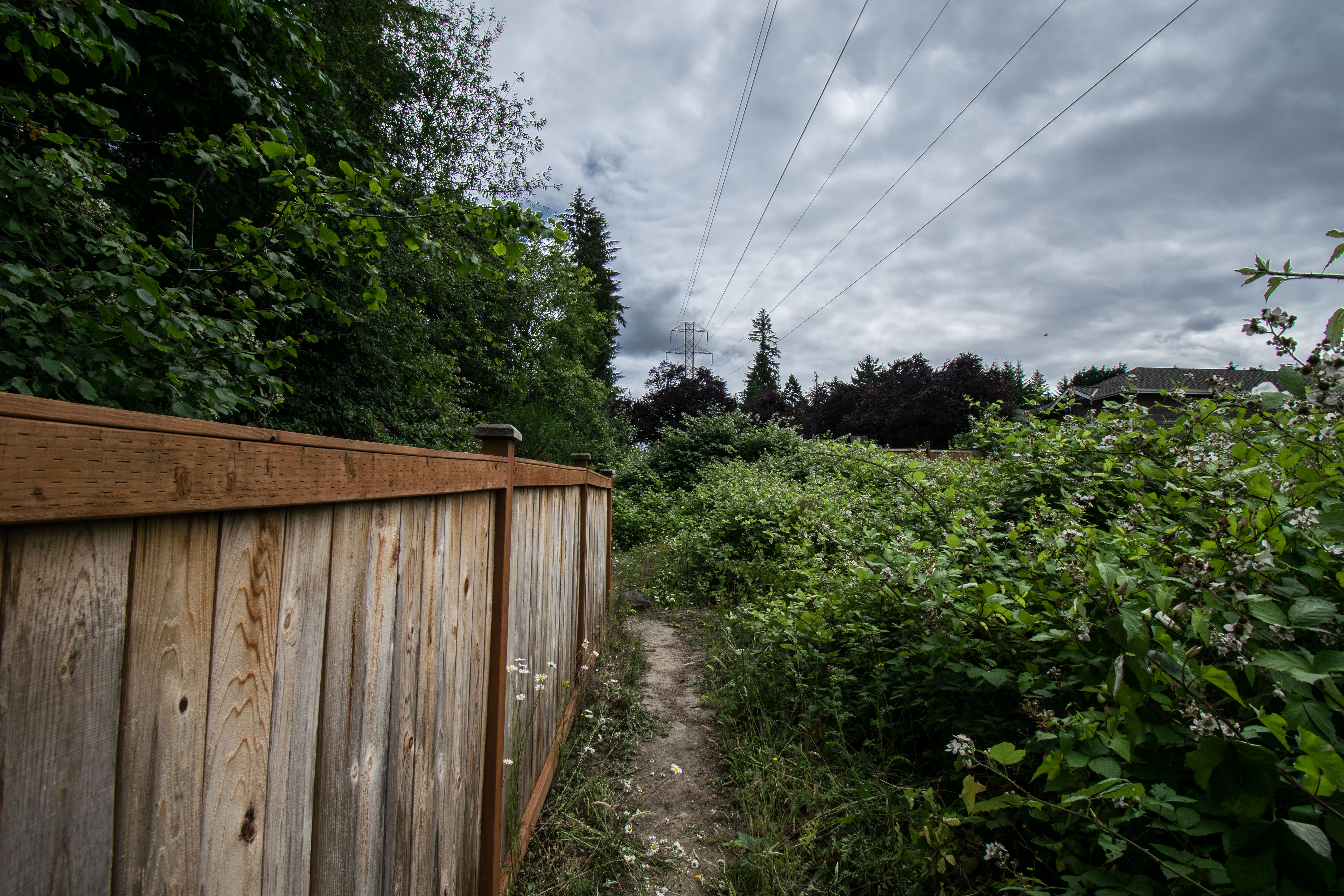
03 Trail southbound in Utility Corridor
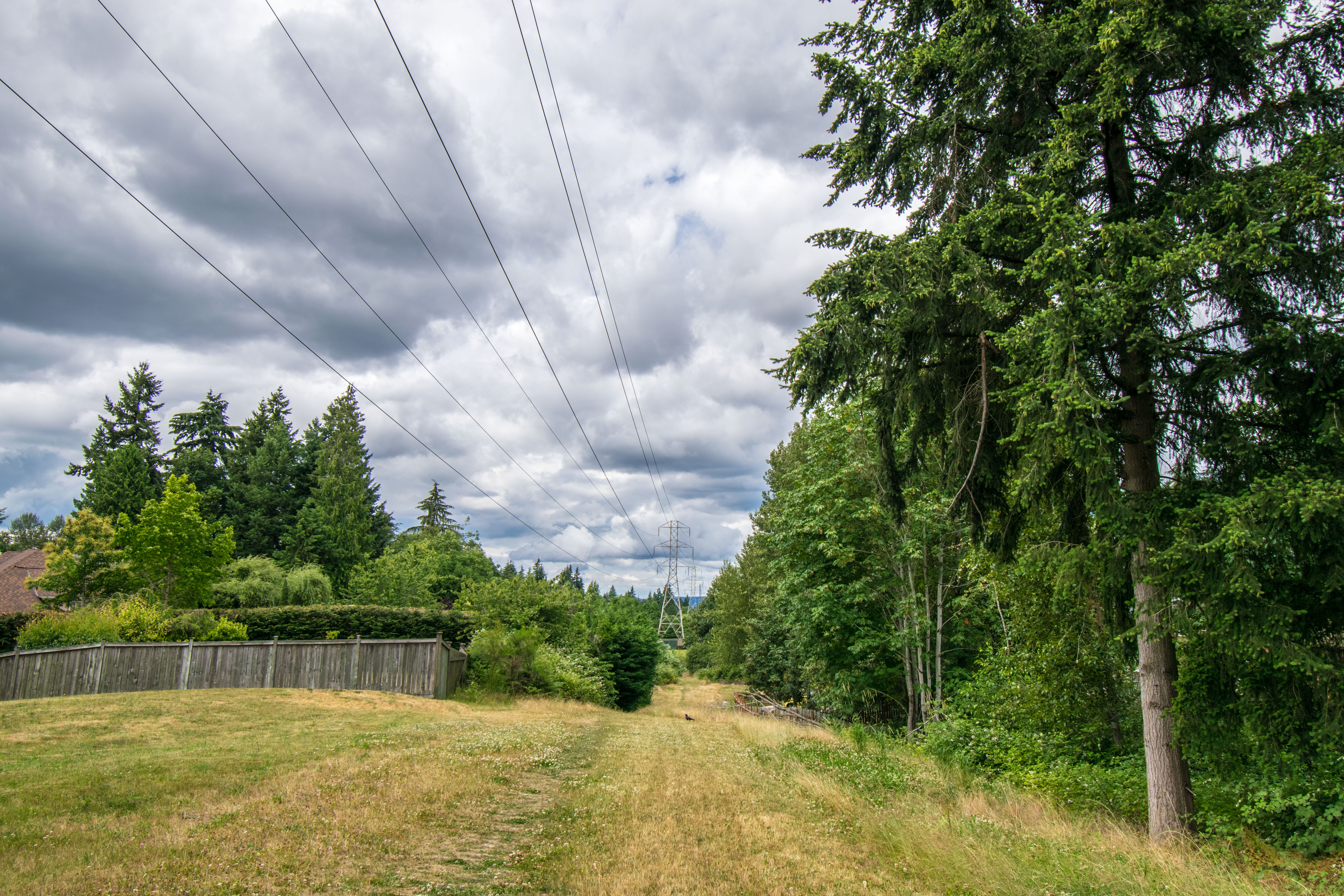
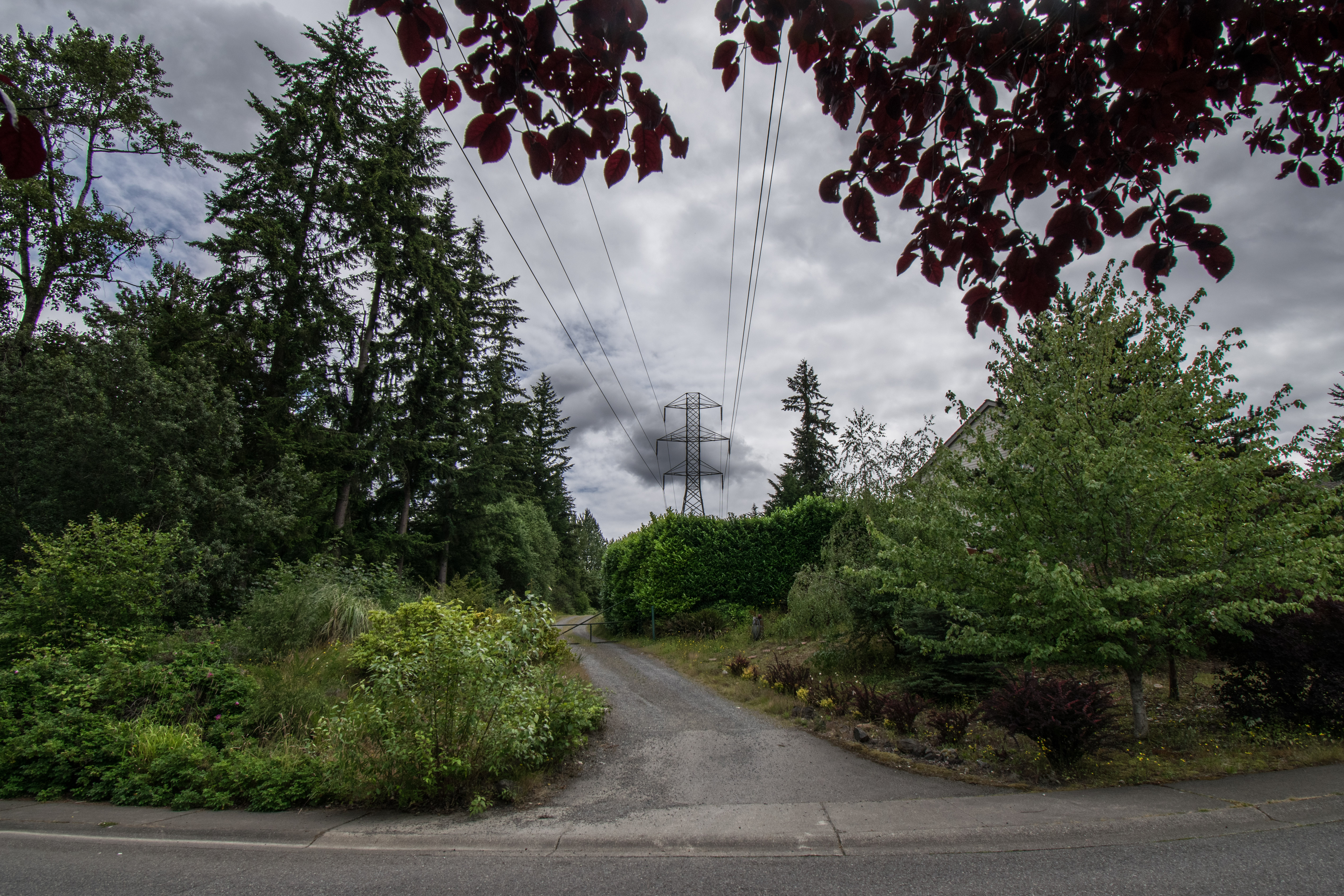
04 Looking back towards Donegal Park
05 Trail branching right to follow Power Lines
06 Trail nearing SE 80th Way in Olympus
07 HorseTrail southbound from SE 80th Way
08 Trail southbound from SE 80th Way
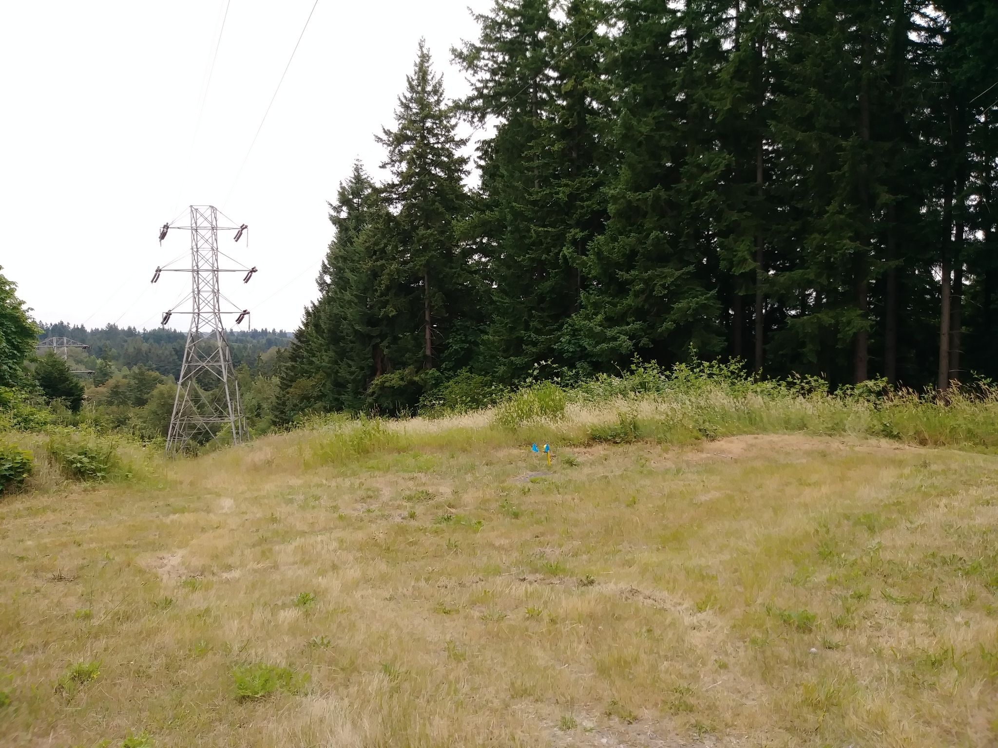
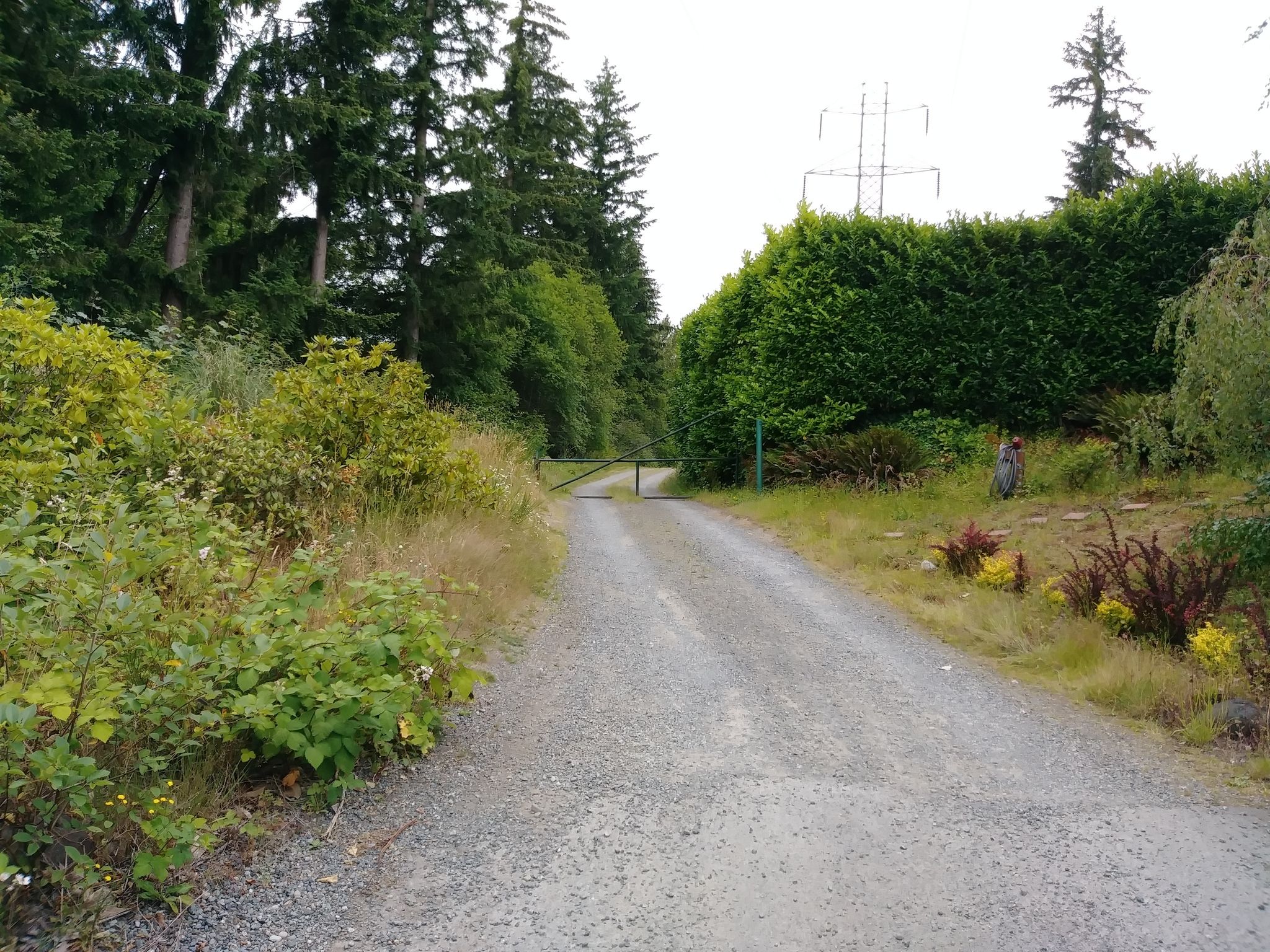
09 Junction with 84th Street Trail on right
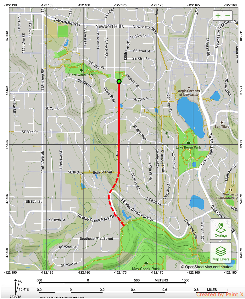
Overview
0.7 miles
Incomplete
2 Roads,
3 Driveways
![]()
From Donegal Park south past Olympus to the 84th Street Trail
Description
This is a pleasant informal trail, mostly on a utility road in a north-south power line easement. It runs south from Donegal Park in the Hazelwood community to May Creek Park at the historic Bartrum Station location. North of SE 80th Way (Olympus) the trail passes open space, a retention pond, and the (mostly fenced) back yards of homes. South of 80th, the trail is mostly flanked by woodland as far as the 84th Street Trail. Unfortunately, the final stretch into May Creek Park is unsafe: it requires you to cross May Creek Park Drive, and then walk on a narrow shoulder. Until this section is built to safe standards the 84th Street Trail marks the current end of the trail. See Extended Description below.
| Hide Trail Map | ||
|
||
The Horse Trail is a historic trail, used by walkers from the Hazelwood community since the area was developed in the 1960's. In past years equestrian Sue Hudson used it to take disabled children on horse rides, heading north from the 84th Street Trail, and returning south via the Sylvan Trail (until it was closed). The Horse Trail is now closed to horses north of SE 80th Way, but the name remains.
• From SE 74th Street by Donegal Park, head south on a gated power line corridor on a public easement. Continue on public open space, one section maintained as an extension of a private lawn.
• Continue south on a utility road, passing a fenced retention pond on your left. Here the utility road curves left, carrying the CrossTown Trail into the Hazelwood Ridge subdivision. The Horse Trail jogs right, off the road, and continues south on a narrow path with fences on the right.
• Follow the trail past fenced backyards, cross SE 80th Way, and follow a utility road south. At 0.7 miles, the safe trail ends where the 84th Street Trail also ends. From here you can follow the 84 Street Trail west past Cottington and Dorchester to its starting point on 116th Ave SE.
• A narrow, brushy trail descends at an obtuse angle down to the right to the hairpin turn on SE May Creek Park Drive. You can follow 124th Ave. SE south into May Creek Park at Bartrum Station, but the shoulders are narrow. Cross carefully on top of the slight rise for visibility.